State Emergency Operation Centre:
0135-2710334, 1070 (Toll Free)
District Emergency Operation Centre:
1077
Uttarakhand Risk Database
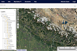
The online Uttarakhand Risk Database provides maps, data, and documents that support disaster risk reduction activities and planning throughout Uttarakhand.
It allows the exchange and update of information relating to HAZARDS, EXPOSURE, VULNERABILITY, and RISK across the state. The database is administered by USDMA. Contact USDMA for more information.
Explore and download data on Exposure, Hazard, Vulnerability and Risk in GIS format. Compatible with ArcGIS and QGIS.
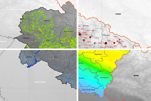
The Risk Atlas gives you static maps from State to Block level for printing or including in your own reports. The maps are in PNG format for compatibility.
Includes the Disaster Risk Assessment (2016 to 2018) project reports, key references, and the full Risk Atlas of Uttarakhand in PDF format.
Register to Use the Risk Database
Staff members of district offices and authorised state agencies can have full access to the data. Contact USDMA on 0135-2710233 or usdmauttarakhand@gmail.com to request access.
We'd Love to hear from you